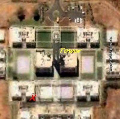
Satellite image of ram’s abode

Here is the Google Earth view of my student village (hostel). The red X is where my apartment is located. The tall tower that stands out in the student village can also be distinctly seen in this image (labeled as Tower).

One thought on “Satellite image of ram’s abode

Leave a Reply

Fill in your details below or click an icon to log in:

WordPress.com Logo

You are commenting using your WordPress.com account. Log Out /  Change )

Twitter picture

You are commenting using your Twitter account. Log Out /  Change )

Facebook photo

You are commenting using your Facebook account. Log Out /  Change )

Connecting to %s